mrp4352
DIS Veteran
- Joined
- Nov 10, 2002
(Just a warning many, many pictures ahead!! Arent you glad I narrowed it down from the 1,000+ I took on the trip!)
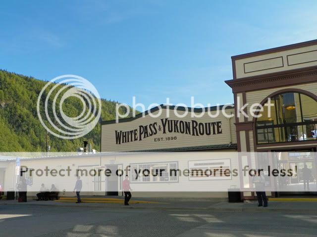
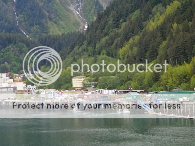
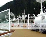
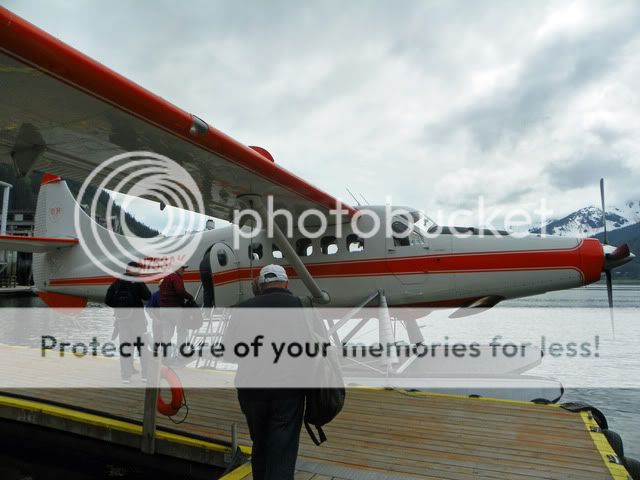
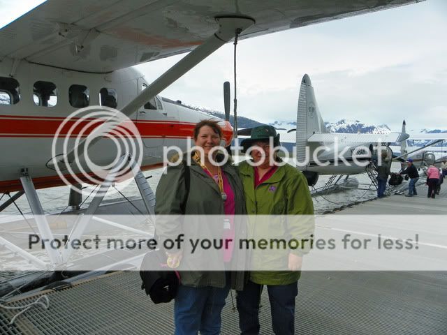
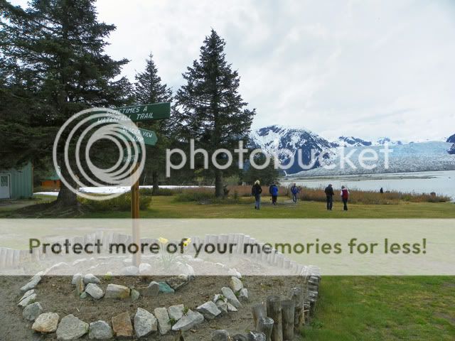
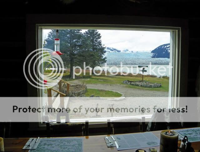
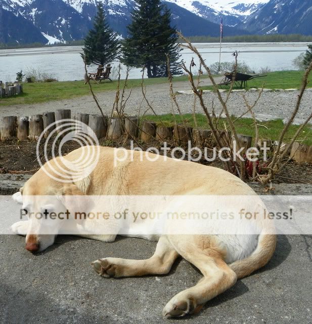
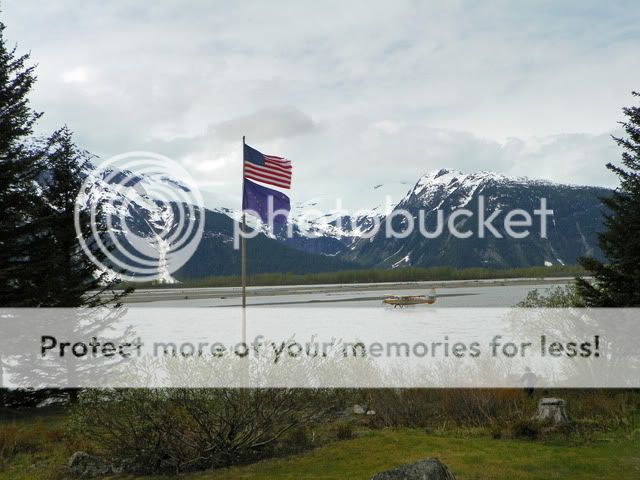
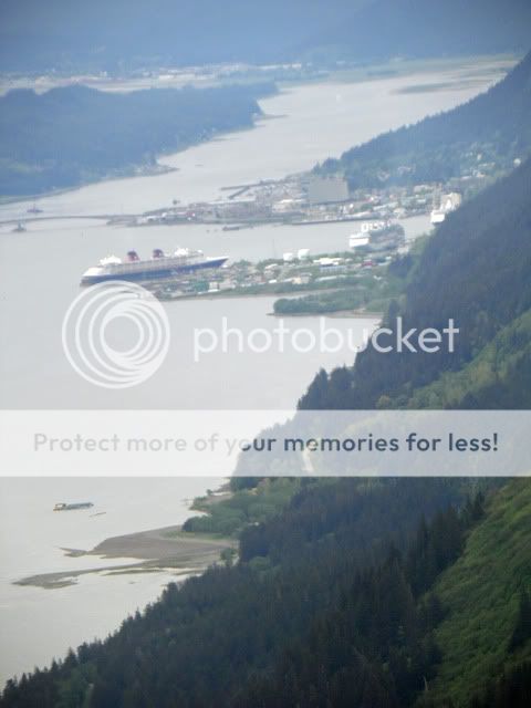
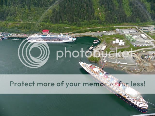
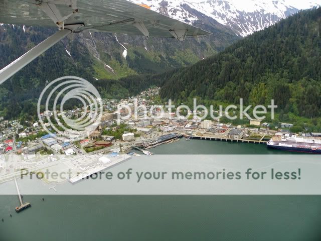
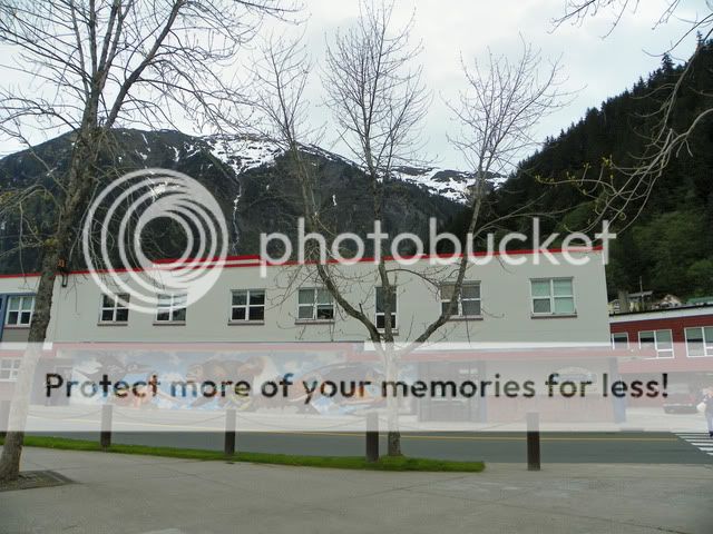
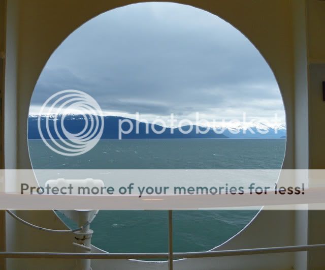
Yukon Ho!!! Today is our first true port Skagway, AK! This tiny town is nestled in the mountains and is one of only two towns in Alaska that is connected by road to the lower 48.

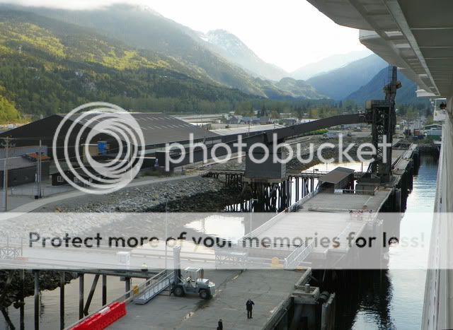
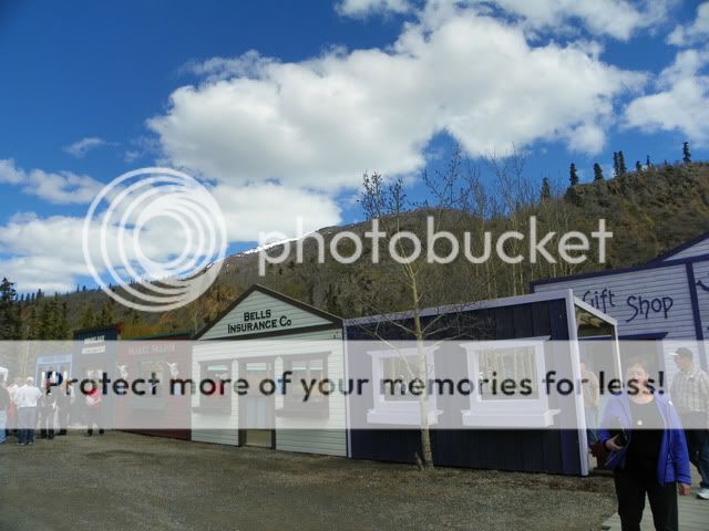
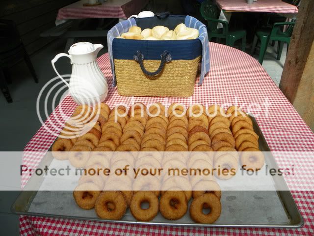
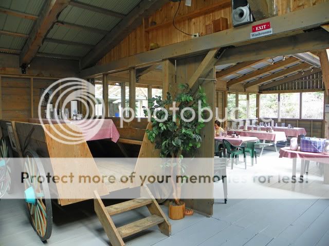
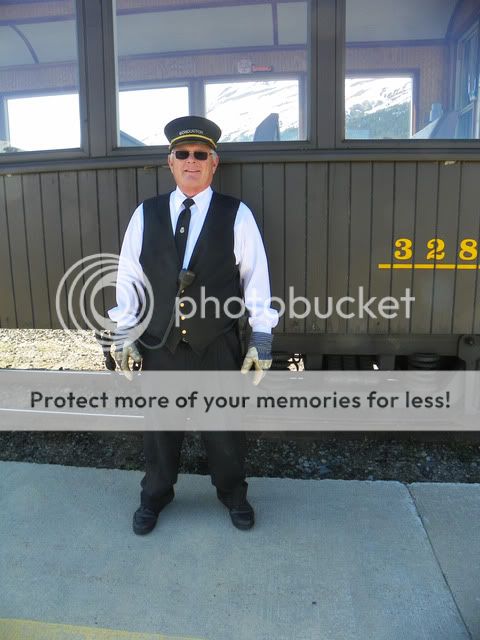
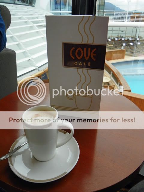
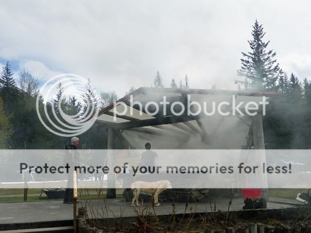
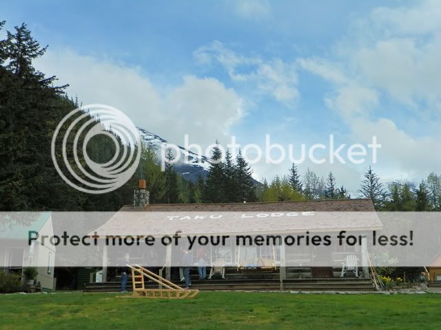
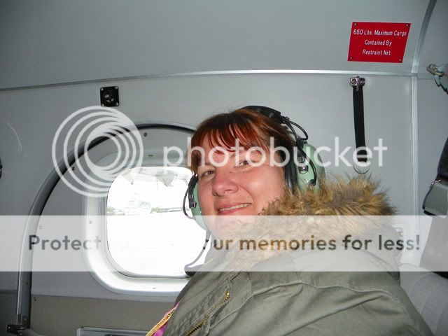
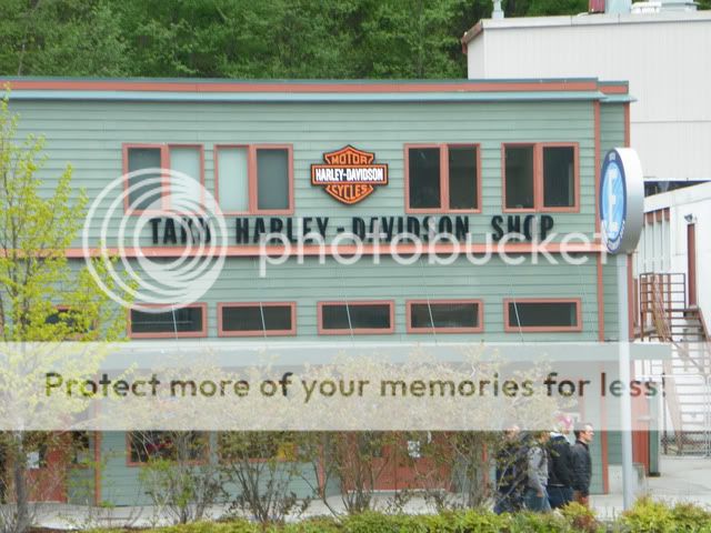
Our tour the Yukon Expedition met at Wavebands at 8am, so after a room service delivered breakfast, we were off! We boarded our bus and met Bethany, our tour guide. Shes a student and only lives here during the summer while she works as a tour guide. Our excursion would take us through Skagway, into BC and then the Yukon Territory.
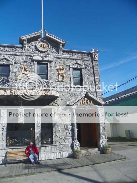
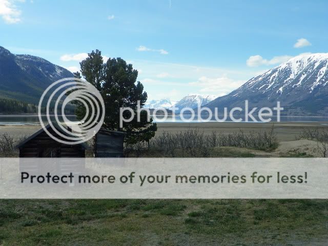
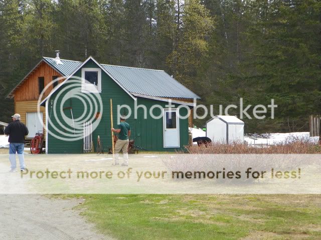
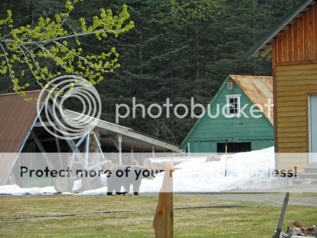
This building is made of driftwood!
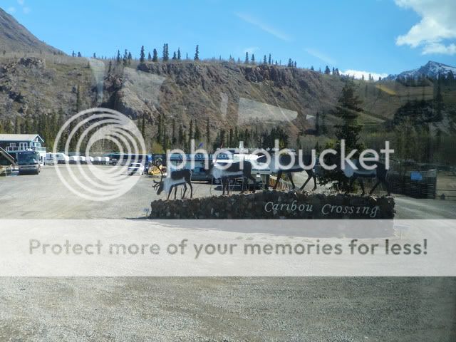
During our drive out to Caribou Crossing, we learned some great facts:
Skagway is home to the largest international airport in the world that doesnt have a control tower. They end up taking in Canadian pilots that get fogged in, which gives them the international status.
We passed a building that had been a bakery downstairs and a brothel upstairs it gave a whole new meaning to B&B!
Often the bus drivers are asked to pick up bikers and move them further down the road (generally away from the bears). Because of this, they call the bike groups Meals on Wheels behind their backs!
The nearest town with a Wal-Mart, McDonalds and Movie Theater is 110 miles away.
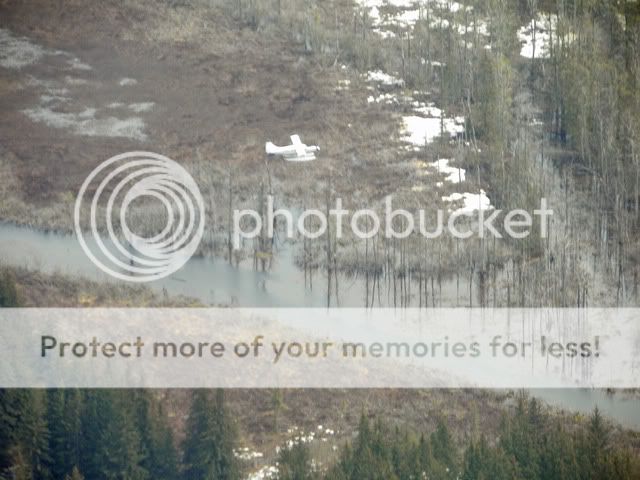
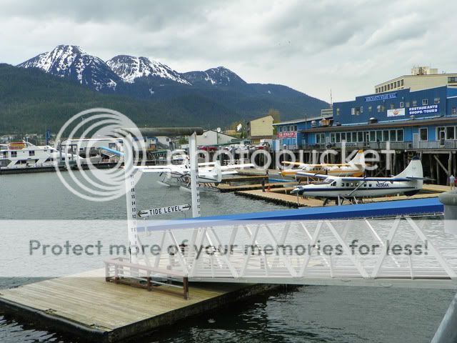
To travel from Skagway to Haines, AK is 15 minutes by plane, 30 minutes by boat or 8 ½ hours by car.
We crossed over the border, but because of the lay of the land, the US and Canadian Customs buildings are built 7 miles apart.
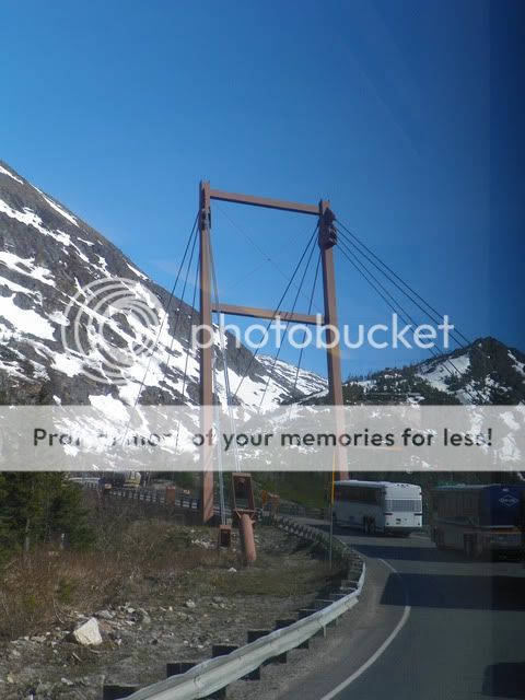
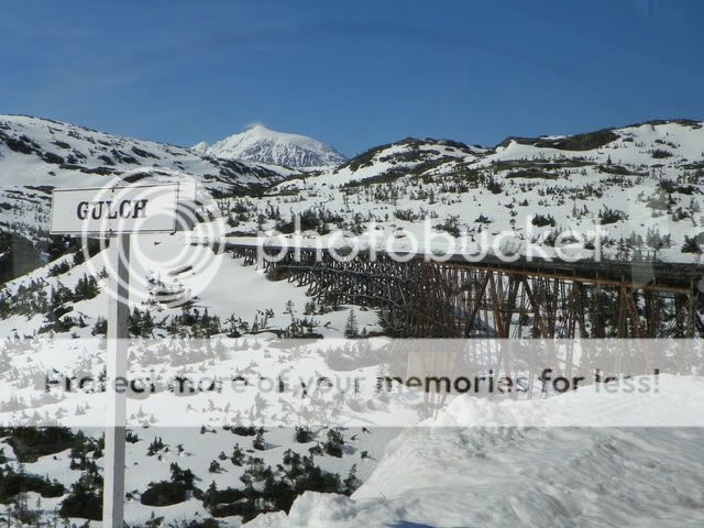
On the way, we crossed over a single cantilever suspension bridge. Basically, its only connected on one side. There are frequent small earthquakes in this region, but the bridge withstands them because of its engineering.
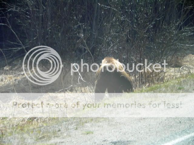
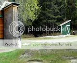
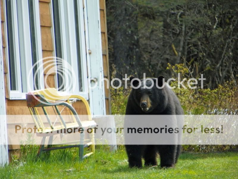
We saw a bear! He was by the side of the road Bethany said theyre especially attracted to the dandelions. (she claimed it was the dandelion wine effect!)
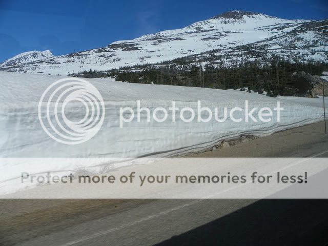
The upside-down L shaped metal next to the striped road barricade is a guide for drivers when they cant see the snow. The end is tipped in yellow that shows where the shoulder starts, the red shows the width of the shoulder and where it can be dangerous if youre driving on the snow.

We passed a mountain that had a huge red section. It has a large concentration of iron ore, and the red is caused by rust.
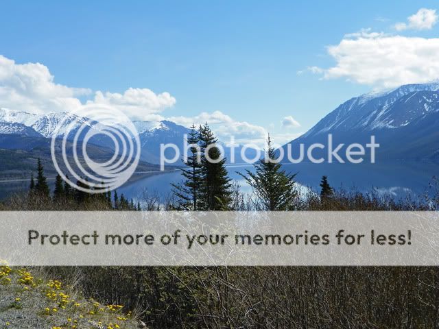
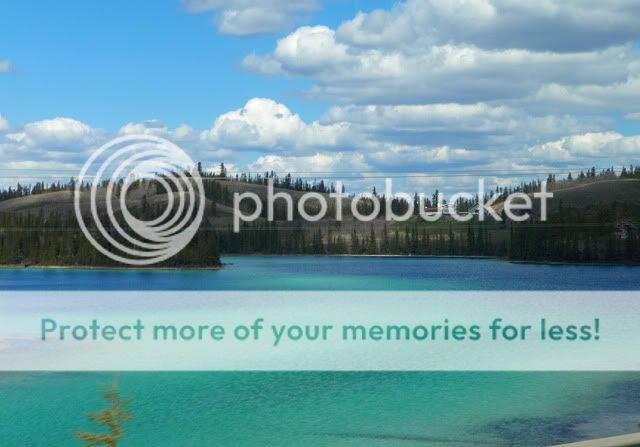
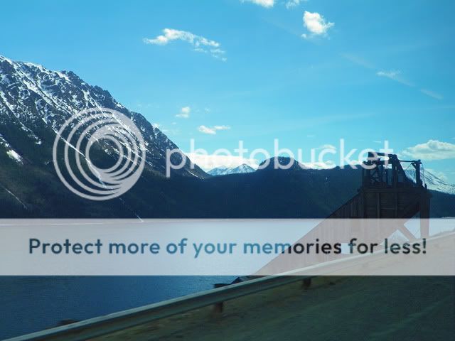
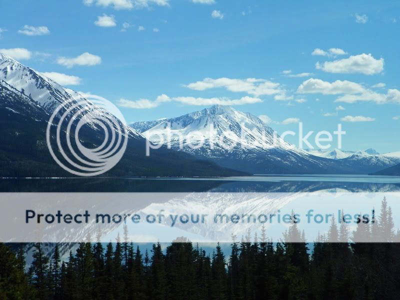
We passed by a huge lake (Tutshi pronounced Too Shy) and the surface was mirror like. Bethany said that was unusual because of the wind that normally is blowing through the area.
One of the glaciers deposited a load sand creating the smallest desert in the world.
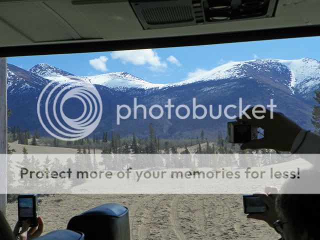
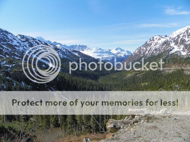
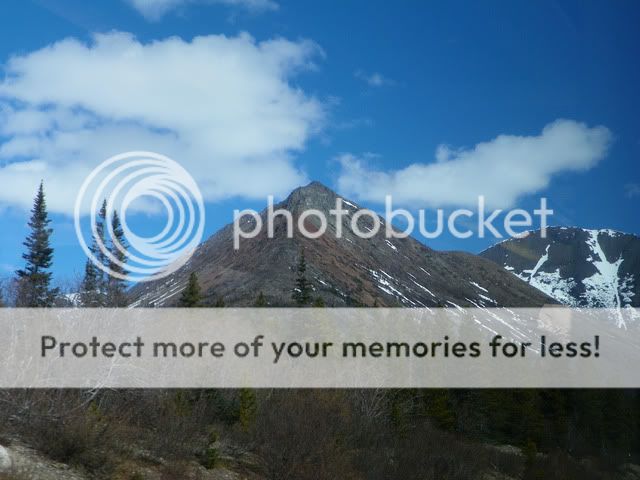
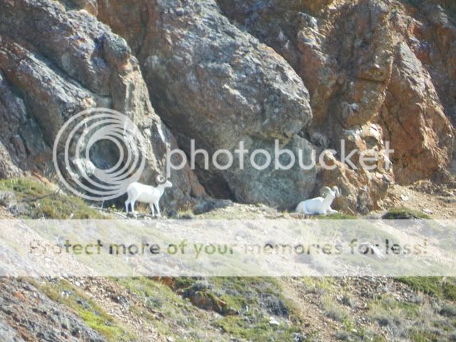
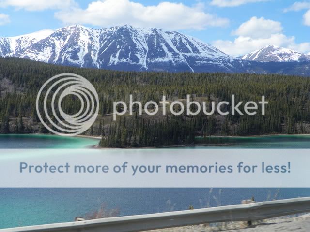
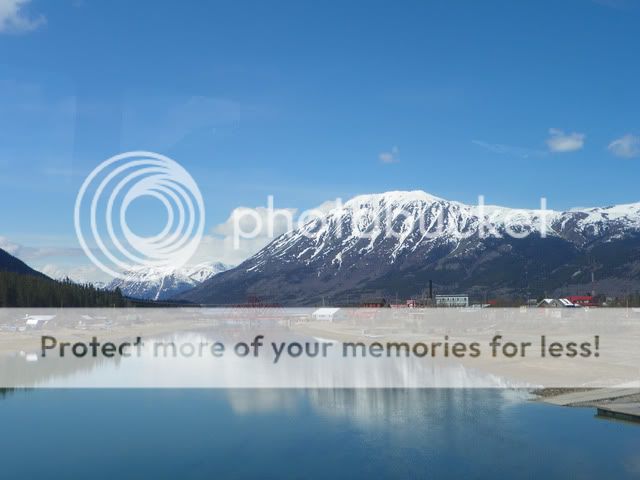
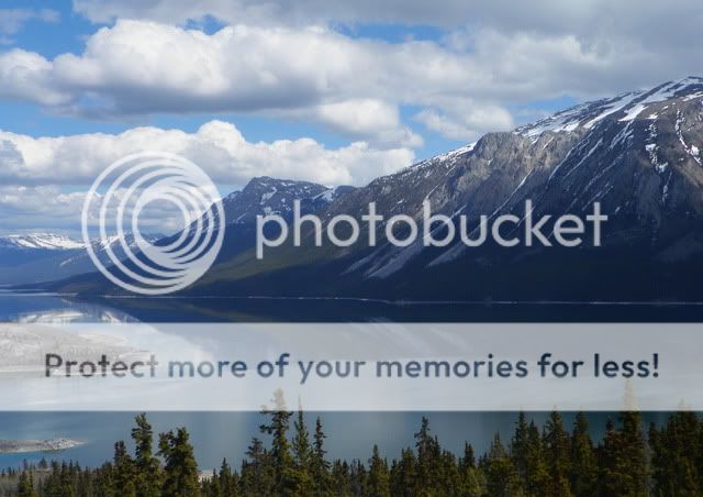
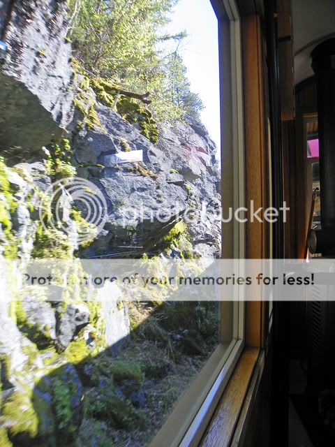
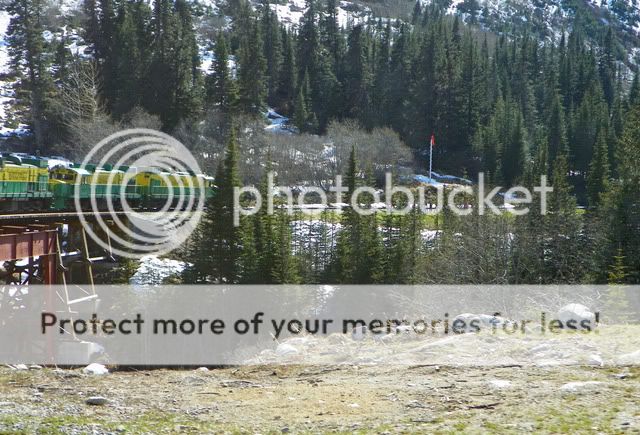
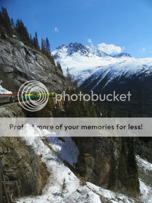
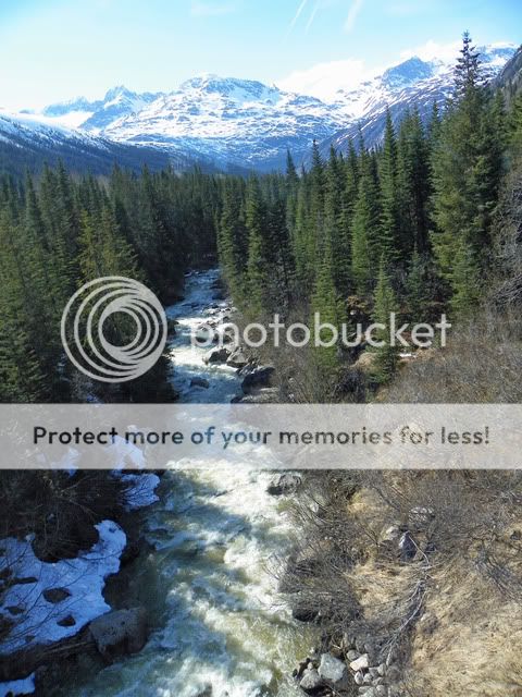
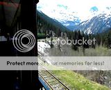
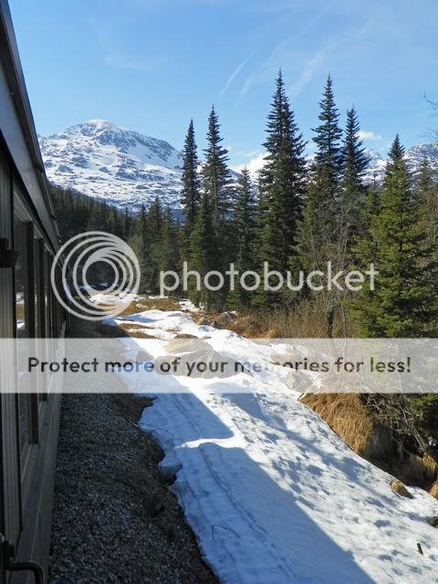
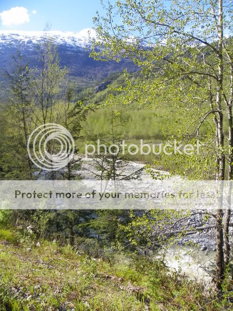
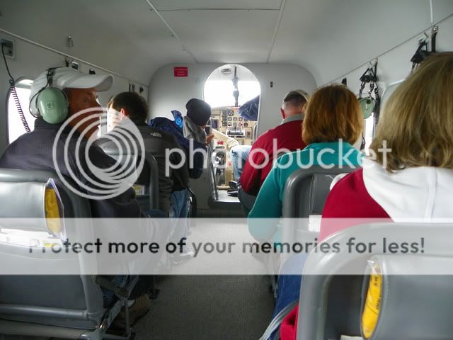
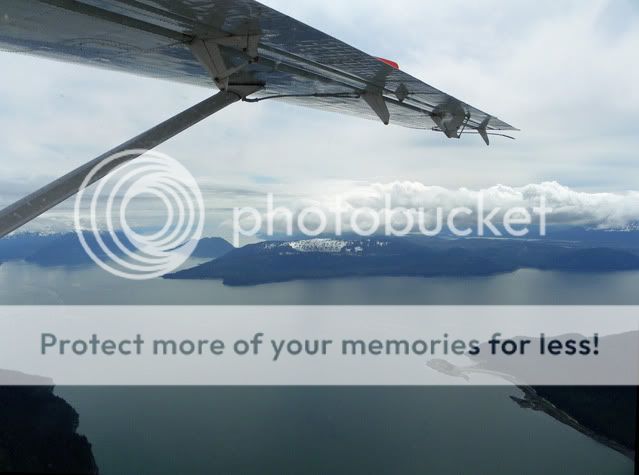
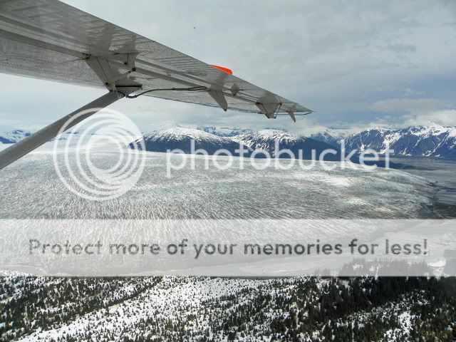
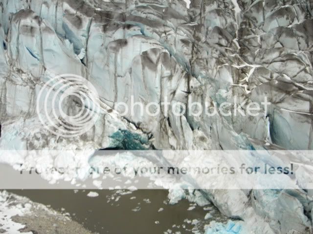
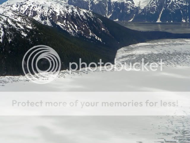
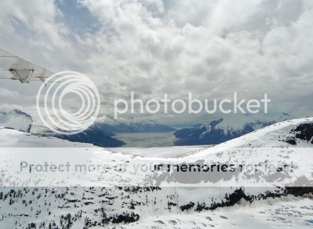
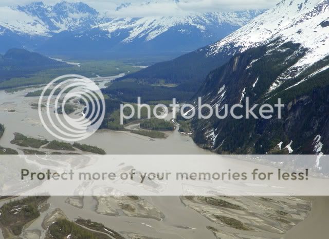
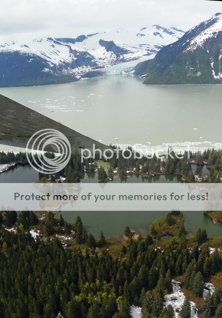
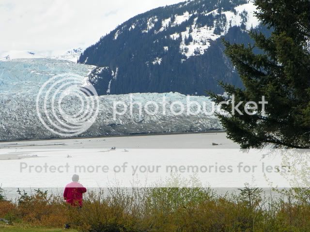
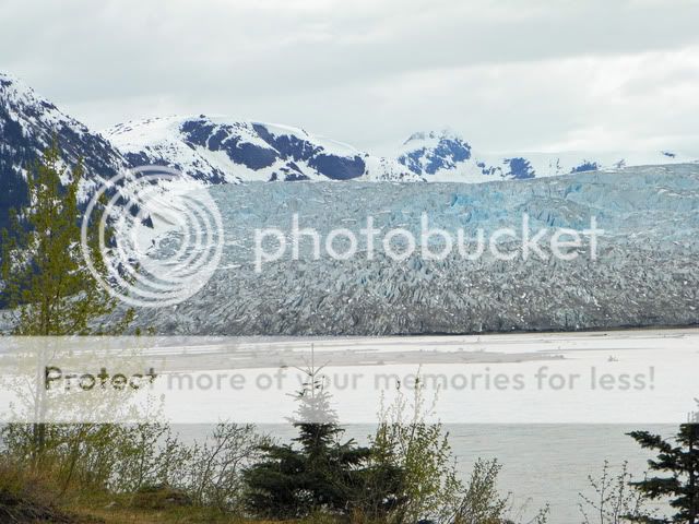
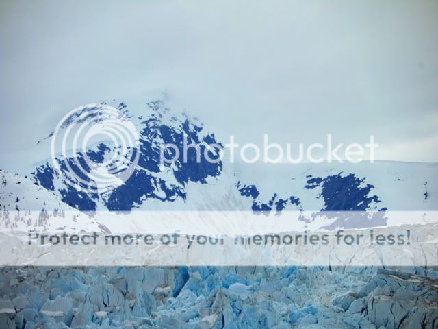
Enough of the fun facts enjoy the scenery!
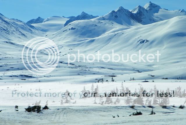
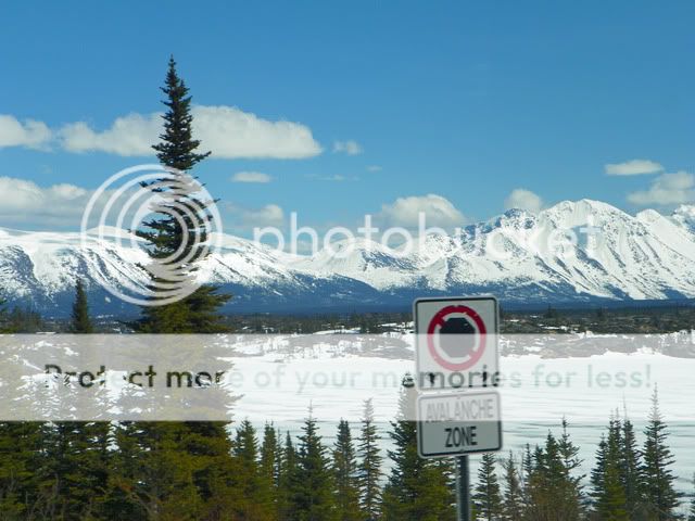
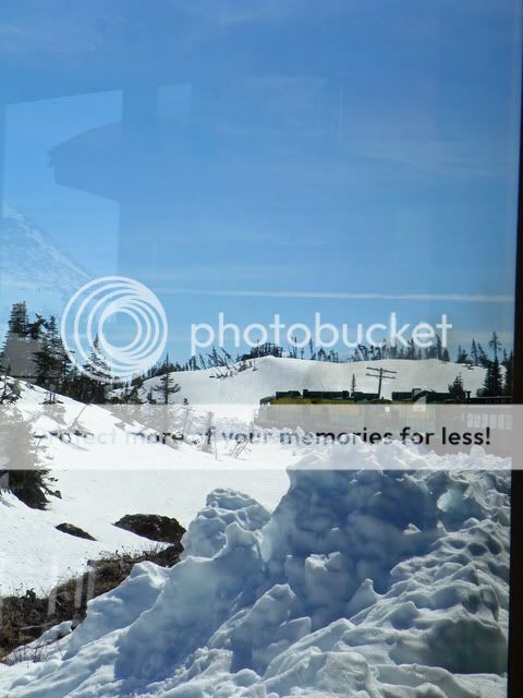
Look how tall the snow on the side of the road is!! They had a late season snow just a week or two before however the weather today is the prettiest weather we would end up having all week! We carried our coats.
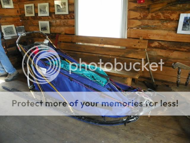
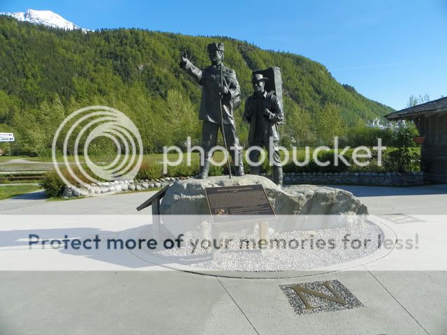
While riding along, Bethany told us about the trials of the prospectors and how hard it was to follow the gold rush. Approximately 100,000 tried to make it to the Yukon, but only 30,000 to 40,000 were successful. The Canadian authorities required they bring enough food for a year before being allowed in. Even then, only a tiny percentage of those who even made it to the Yukon found gold.
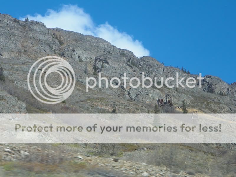
If you look closely, you can see an abandoned mine in the side of the mountain:
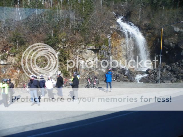
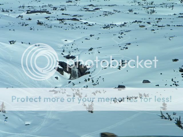
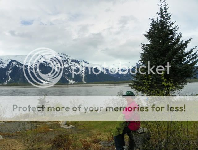
This waterfall marks the official border between the US and Canada.
Further down the road we stopped at the Canadian Border Inspection building for Customs. Because of the roads, the Customs buildings for the US and Canada are actually several miles apart!

Yukon Ho!!! Today is our first true port Skagway, AK! This tiny town is nestled in the mountains and is one of only two towns in Alaska that is connected by road to the lower 48.
Our tour the Yukon Expedition met at Wavebands at 8am, so after a room service delivered breakfast, we were off! We boarded our bus and met Bethany, our tour guide. Shes a student and only lives here during the summer while she works as a tour guide. Our excursion would take us through Skagway, into BC and then the Yukon Territory.
This building is made of driftwood!
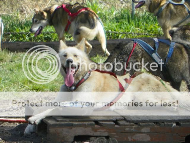
During our drive out to Caribou Crossing, we learned some great facts:
Skagway is home to the largest international airport in the world that doesnt have a control tower. They end up taking in Canadian pilots that get fogged in, which gives them the international status.
We passed a building that had been a bakery downstairs and a brothel upstairs it gave a whole new meaning to B&B!
Often the bus drivers are asked to pick up bikers and move them further down the road (generally away from the bears). Because of this, they call the bike groups Meals on Wheels behind their backs!
The nearest town with a Wal-Mart, McDonalds and Movie Theater is 110 miles away.
To travel from Skagway to Haines, AK is 15 minutes by plane, 30 minutes by boat or 8 ½ hours by car.
We crossed over the border, but because of the lay of the land, the US and Canadian Customs buildings are built 7 miles apart.
On the way, we crossed over a single cantilever suspension bridge. Basically, its only connected on one side. There are frequent small earthquakes in this region, but the bridge withstands them because of its engineering.
We saw a bear! He was by the side of the road Bethany said theyre especially attracted to the dandelions. (she claimed it was the dandelion wine effect!)
The upside-down L shaped metal next to the striped road barricade is a guide for drivers when they cant see the snow. The end is tipped in yellow that shows where the shoulder starts, the red shows the width of the shoulder and where it can be dangerous if youre driving on the snow.
We passed a mountain that had a huge red section. It has a large concentration of iron ore, and the red is caused by rust.
We passed by a huge lake (Tutshi pronounced Too Shy) and the surface was mirror like. Bethany said that was unusual because of the wind that normally is blowing through the area.
One of the glaciers deposited a load sand creating the smallest desert in the world.
Enough of the fun facts enjoy the scenery!
Look how tall the snow on the side of the road is!! They had a late season snow just a week or two before however the weather today is the prettiest weather we would end up having all week! We carried our coats.
While riding along, Bethany told us about the trials of the prospectors and how hard it was to follow the gold rush. Approximately 100,000 tried to make it to the Yukon, but only 30,000 to 40,000 were successful. The Canadian authorities required they bring enough food for a year before being allowed in. Even then, only a tiny percentage of those who even made it to the Yukon found gold.
If you look closely, you can see an abandoned mine in the side of the mountain:
This waterfall marks the official border between the US and Canada.
Further down the road we stopped at the Canadian Border Inspection building for Customs. Because of the roads, the Customs buildings for the US and Canada are actually several miles apart!


")


")
